Gothenburg Landvetter Airport (GOT)
Orientation and Maps
(Gothenburg, Sweden)
The south-western port of Gothenburg (Göteborg) is a particularly splendid city, dating back to the beginning of the 17th century. With grand architecture and many large public parks, Gothenburg is the second-biggest city in Sweden and has become the largest seaport in the whole of Scandinavia, being especially close to Norway.
Many people fly into into Gothenburg Airport (GOT), which is located in nearby Landvetter. Visitors also arrive by ferry, from Denmark, Norway and other nearby European countries.
Gothenburg Landvetter Airport (GOT) Maps: Important City Districts
Gothenburg's cityscape consists of wide boulevards, stylish public squares and a series of canals, all of which combine to make this one of Sweden's most attractive cities. Public transport in Gothenburg is good and the city is home to the most extensive modern tram network in Europe.
A city of culture, Gothenburg city centre is full of street cafes and most points of interest lie on the southern side of the Göta River. The historic 'old town' area of Gothenburg is situated in the heart of the city and contains many grand buildings, museums and colourful local markets. This area is split into two main regions by the Stora Hamn Canal, with the city's busy harbour standing to the north.
On the southern side of central Gothenburg you will find the modern centre of the city, where the Avenyn street is lined with shops, eateries and lively bars. Many interesting roads join this boulevard and lead to small districts, including Vasaplan to the south-west, which is home to a number of Gothenburg's premier museums.
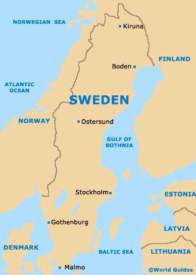
Sweden Map
Gothenburg Map

